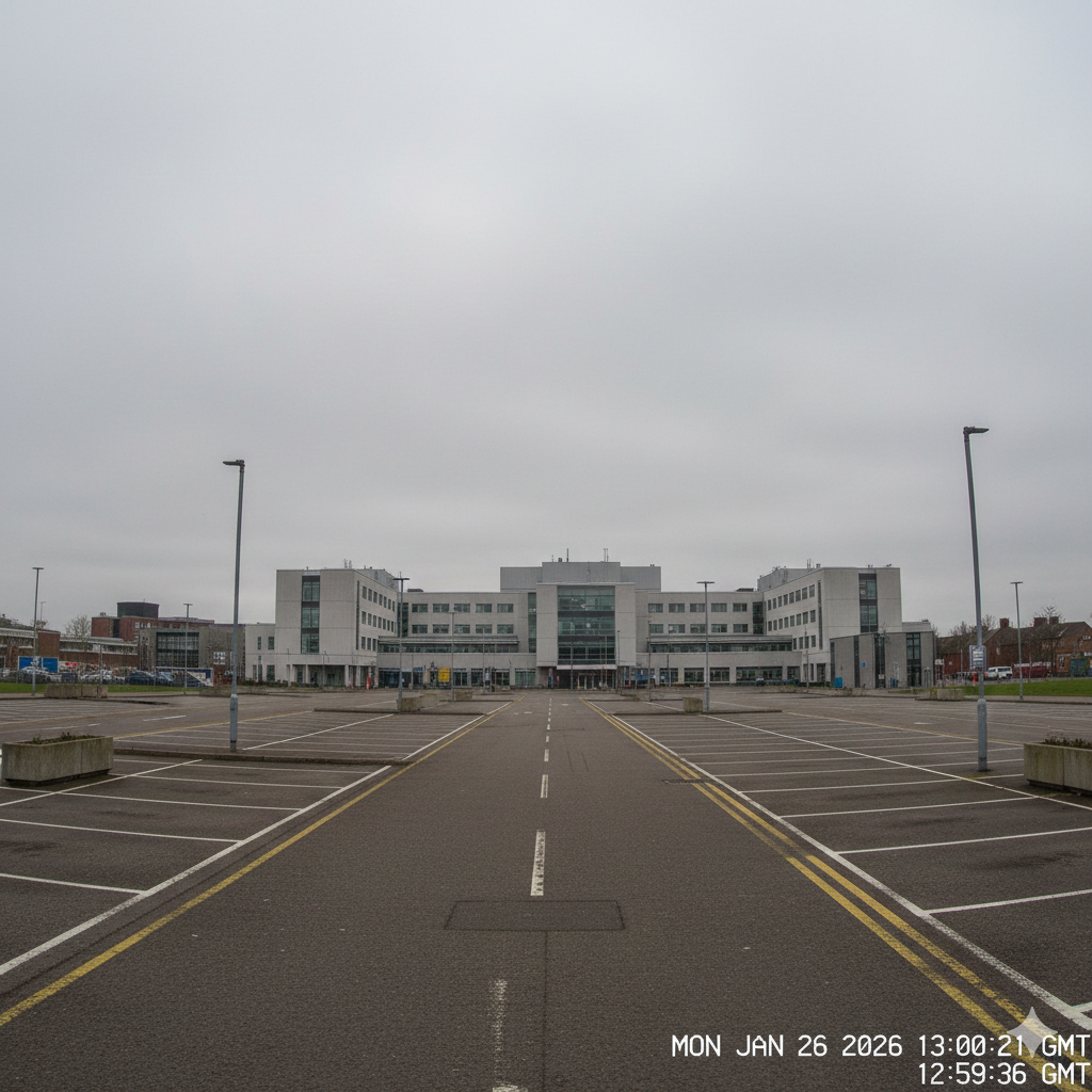
I checked the council website today out of pure boredom, and I found a couple of road closures listed as ‘temporary public safety measures.’ Again, there was no real explanation or detail provided. They are all situated closer to the town centre than I am, which fits the pattern of things tightening up. It’s probably a coincidence—maybe a gas leak or some structural work—but seeing those lines on a map has a way of making them feel like borders. You start to see the town being sliced up into zones. I’m sure it’s just traffic management, but it feels like the walls are inching in.
Lines On A Map


Thanks for keeping an eye on it.